Milwaukee County is home to 15,325 acres of parkland. There are 158 unique parks are rooted across the region – from Joseph Lichter Park in the north to Oakwood in the south; from tiny Pompeii Square nestled beneath a tangle of downtown freeway spurs to 626-acre Whitnall Park.
But, why is Milwaukee home to so many parks? That’s the question Beth Van Gorp had on her mind when she reached out to WUWM’sBeats Me series.
To get to the why, WUWM’s environmental reporter Susan Bence had to start at the beginning.
1837: Clarke Square

In the 1800s, Milwaukee didn’t have a plan for parks. Instead, little parcels were set aside across the city.
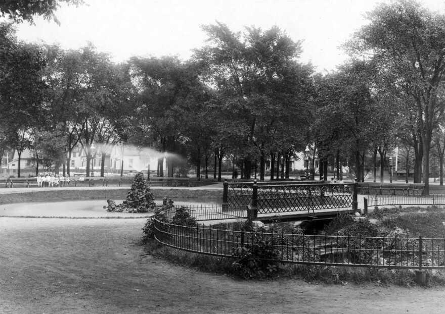
One example of this is Clarke Square. “It is a small neighborhood park, and it’s kind of a historic park in that it was given as a gift to the city at the time,” says Laurie Muench, retired landscape architect for Milwaukee County parks.
Three developers donated the 2.1 acre parcel in 1837 and over the years, crews planted trees and bushes, laid walkways, and fashioned an ornate fountain.
“For a spot for people to come and gather and enjoy the greenspace.” Muench adds, “It still serves as that source of a space in the community.”
1870: Juneau Park

More than three decades later, Milwaukee commissioned a landscape architect to create its first designed park.
In 1870, Milwaukee’s brand new public works board commissioned Horace W. S. Cleveland, a prominent, Chicago-based landscape architect to design the space.
Cleveland is credited for designing Minneapolis’ and St. Paul’s top ranking parks systems.
By the late 1880s, Milwaukee’s population had grown to 200,000. Yet, only 60 acres of parkland had been set aside to serve them.
1889: A Pivotal Year for Milwaukee's Parks

In 1889, the state legislature passed laws to allow Milwaukee to sell bonds to purchase parkland, and the Milwaukee Board of Park Commissioners was created.
Christian Wahl was its president.
Writer Virginia Small says Wahl doggedly called for ample park space for the health of Milwaukee citizens. “He was the one saying, we are not going to be a real city unless we have public parks. There are no places for a workers and citizens to congregate to recreate.”
Milwaukee’s park commissioners also hired Frederick Law Olmsted to select key sites to create a network of parks here. Olmsted is most famous for his design of New York’s Central Park.
“A prime example is Riverside Park and Lake Park connected by Newberry Boulevard, all of which was envisioned by Olmsted,” Small explains.
Another important player in many of the city's first parks was Warren Manning. “Manning was crucial in the development of most of the first city parks, but is left out of most Milwaukee histories,” Small says.
He worked with Olmsted as his planting designer, continued overseeing the Olmsted parks' development and was hired by the city parks commission to assist in park planning and the design of Kosciusko and Mitchell Parks, including the latter's long-renowned Sunken Garden.
1907: Milwaukee County Parks Commission Formed

Charles Whitnall served on both the city parks commission and became a charter member of the county parks commission, when it was created in 1907.
The Milwaukee native took over his family’s successful floral business, created FTD (Florist Telegraph Delivery System) as well as a cooperative bank, but Whitnall’s greatest passions were parks and planning.
1923: Milwaukee County Parks Blueprint Created

Whitnall drew up plans for 84-miles of connected parkways in 1923. The plan called for incorporating wetlands, restoring degraded streambanks, and ultimately linking parks – like pearls on a necklace.
Charles Whitnall then hired Alfred Boerner, a landscape architect from Cedarburg, to design those landscapes. “Boerner was just the top of the line landscape architect. [Whitnall and Boerner] shared the vision of parks based on a naturalistic concept of design,” Small adds.
But, she continues, “They were designs that were sitting on paper but waiting for funding. Milwaukee never had a lot of money sitting around to do all of this.”
1933: Enter The CCC

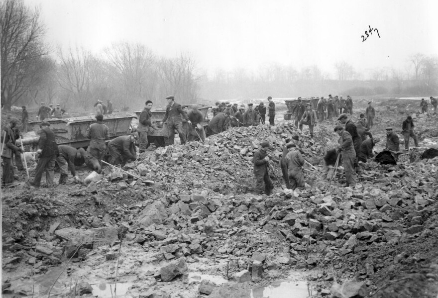
Funding came out of unlikely event - a long and deep financial crisis – The Great Depression. Federal dollars flowed into communities around the country during FDR’s New Deal program. Here, parks benefited from the infusion of dollars and manpower.
Benji Timm with Milwaukee’s Redevelopment Authority marvels at what Civilian Conservation Corps, or CCC, workers accomplished. "There were all these, mostly men, who were out of work and needed work. And they were sent to these camps in these parks around here. They lay the groundwork for all the buildings, the trails and the parkway system along many of the streams and rivers in Milwaukee County," he explains.
1936: City & County Park Systems Merge

More growth was still to come, as leaders continued to believe in the value of public green space.
But a growing parks system came with financial challenges. In 1936, during the Depression, citizens passed a referendum to consolidate city and county parkland - a total of over 4,800 acres.
Today: 15,325 Acres of Parkland

The amount of parkland has more than doubled since the 1930s. In recent years, the size and quality of the parks system have been threatened, as elected officials juggle spending priorities.
Today, Julia Robson, Milwaukee County Parks assistant natural areas coordinator, helps steward the parks. She feels its legacy in places like Grant Park, which hugs Lake Michigan’s shore in South Milwaukee.
“It’s this picture of beautiful natural landscape with a bunch of recreational opportunities for the public,” Robson says. “And the founders of the park system and Charles B. Whitnall always said that’s what parks are - common good for the public and that’s what Grant Park really is the epitome of.”
Have an environmental question you'd like WUWM's Susan Bence to investigate? Submit below.
_


